Understanding GPS Accuracy and Reliability for Remote Exploration
My first attempt at using a dedicated GPS device for backcountry hiking was a disaster in the Ozark Mountains. I bought a $150 handheld unit from a sporting goods store, thinking it was foolproof. It was late September, perfect weather, and I was trying to find a specific waterfall I'd only seen on a blurry online photo.
My first attempt at using a dedicated GPS device for backcountry hiking was a disaster in the Ozark Mountains. I bought a $150 handheld unit from a sporting goods store, thinking it was foolproof. It was late September, perfect weather, and I was trying to find a specific waterfall I'd only seen on a blurry online photo. Turns out, "accuracy" on that thing was a suggestion, not a guarantee.
I spent 45 minutes wandering in circles, convinced the device was broken, not that the signal was bouncing off trees like a pinball.
The honest version: most consumer GPS units are good enough for finding your car in a Walmart parking lot, maybe even a trailhead. But in the real wild, where signal is king and terrain is a jerk, you need to understand what "accuracy" actually means.
It's not just a number; it's the difference between finding that waterfall and wondering if you packed enough snacks for a multi-day detour.

The Core Answer
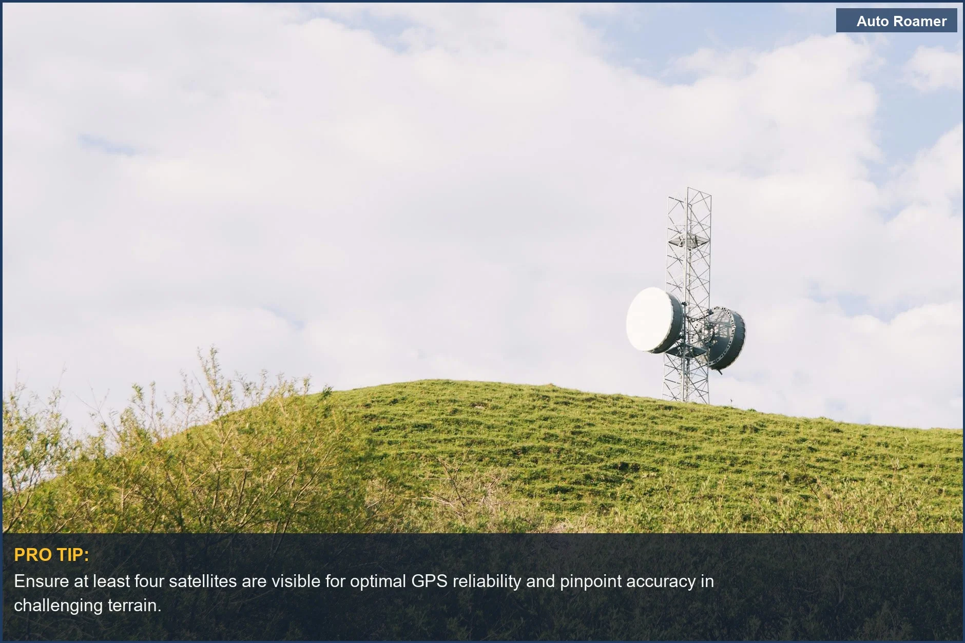
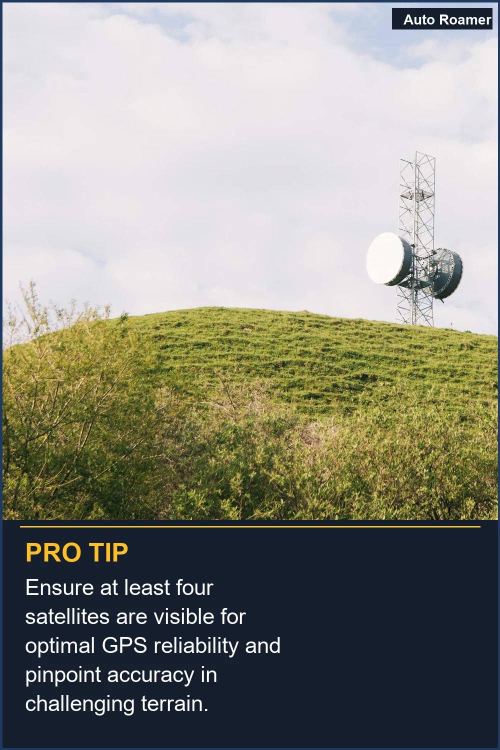
So, let's talk about GPS accuracy. It's not magic, it's science, and sometimes science gets a little fuzzy. Your GPS receiver needs signals from at least four satellites to figure out exactly where you are on this spinning rock Source Name. It measures how long each signal takes to arrive and uses that to calculate your position. Think of it like shouting at four friends and timing how long it takes their echoes to come back - the farther away they are, the longer the echo.But here's the rookie mistake: those signals can get messed with. Big buildings in a city, called "urban canyons," can block signals or make them bounce around, throwing off your reading. Mountains and even thick forests do the same thing. I learned this the hard way trying to navigate a dense pine forest in Colorado; my GPS kept showing me 50 feet to the left of the actual trail Source Name. Brilliant engineering, right?
"Accuracy" is basically how close the device's reported spot is to your actual spot on the ground, measured in meters or feet. A standard GPS might be good to about 4.9 meters (16 feet) in clear conditions Source Name. That's fine for finding your campsite, but not so great for pinpointing a tiny geocache.
Then there's "precision." This is about how consistently the device gives you the same reading. You could have a super precise device that's always off by 10 feet - it's consistently wrong. Or, you could have one that's sometimes spot-on and sometimes wildly off. For remote exploration, you want both accuracy and precision, which is where things get more complicated and expensive Source Name.
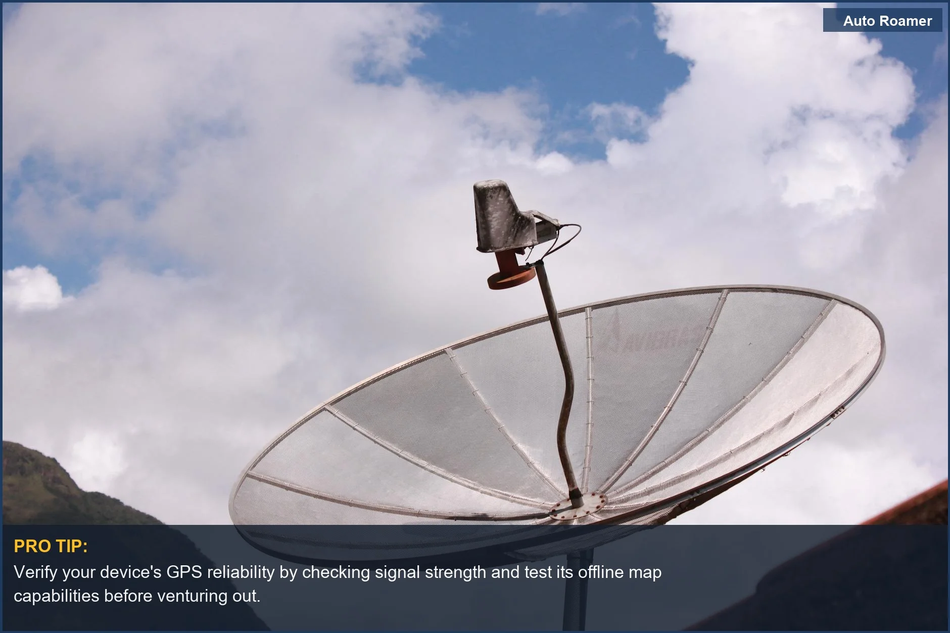
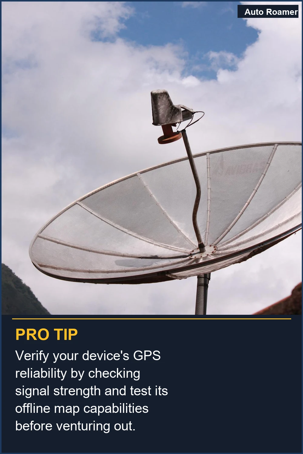
Most modern devices don't just use the old US GPS system. They tap into others like Europe's Galileo or Russia's GLONASS, sometimes called GNSS. This gives them more satellites to talk to, which usually means better accuracy, especially when signals are weak Source Name. Some even use your phone's cellular data to help out, which is great for getting a quick fix but useless out in the sticks.
The "accuracy" number your device shows is usually pretty reliable, but it can be wrong. Sometimes, a single bad signal can mess up the whole calculation. It's like one bad apple spoiling the bunch, but in satellite math form Source Name. The real move is to understand the limitations and not trust it blindly, especially when you're miles from anywhere.
Why This Matters for Your Setup
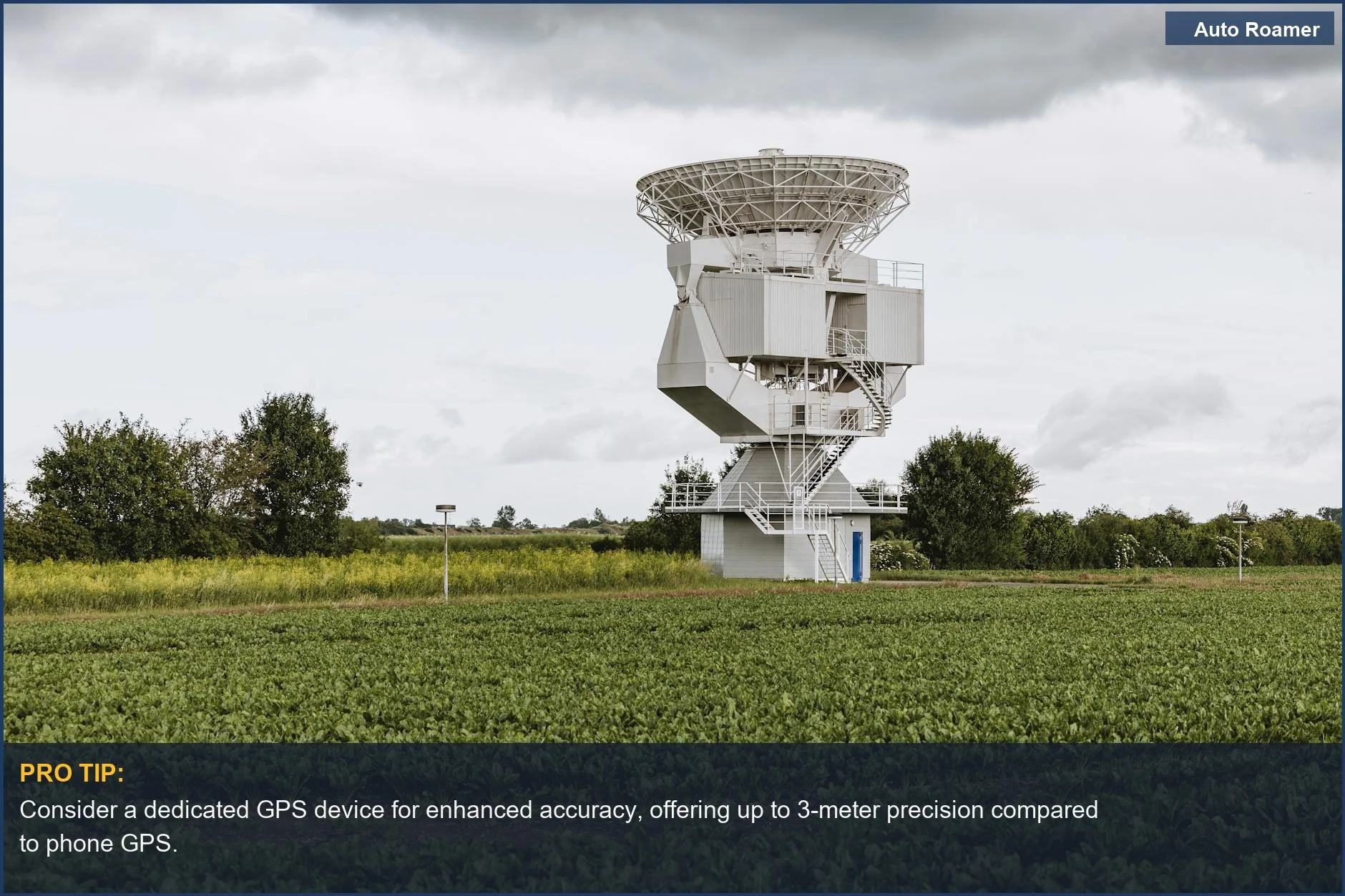
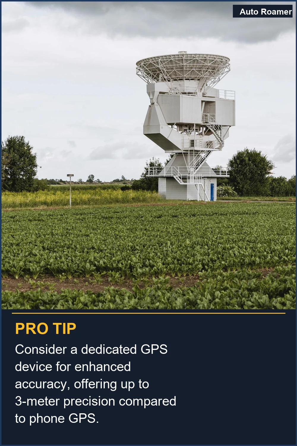
Why does any of this matter when you're just trying to find a decent campsite in a state park? Because even "close enough" can be a problem.- Don't rely on your phone's GPS alone in the wilderness. I learned this in Big Bend National Park when my phone battery died and my offline maps wouldn't load. My $50 handheld GPS, though clunky, saved my bacon because it didn't need cell service. Get a dedicated device or at least download offline maps and carry a power bank.
- Understand your device's limitations. That little blue dot on your phone screen isn't always where you are. If you're navigating a canyon or dense forest, expect the accuracy to be worse than the advertised number. My $150 handheld unit often showed me 30 feet off in the woods, which is enough to miss a turn.
- Consider the environment. Open fields? Great. Deep canyons with sheer walls? Not so much. The same goes for dense tree cover. Your GPS needs a clear view of the sky. I've had my device struggle to get a lock in thick redwood forests, making progress slow and frustrating.
- Think about what you're doing. If you're just trying to find a campground with a sign, your phone is probably fine. If you're trying to navigate off-trail to a remote lake or find a specific peak, you need something more robust. I upgraded to a unit that can handle topographical maps after getting lost on a logging road in Montana.
Making the Right Choice
So, what's the takeaway for us Weekend Warriors? Don't get bogged down in technical jargon, but understand the basics. Your off-the-shelf GPS is probably good enough for most car camping trips and marked trails. It's your $50 backup plan when your phone dies or the signal gets wonky.If you're heading into truly remote areas, or you just like knowing you have the best tool for the job, investing in a more accurate GPS unit is worth it. Look for devices that mention multi-GNSS support and have good reviews for real-world performance, not just lab tests. I spent an extra $100 on my current unit, and the peace of mind when I'm miles from anywhere is priceless.
Ultimately, it's about making informed choices. You don't need a surveyor-grade device to find your way to a picnic spot, but you also don't want to be stranded because your gadget decided to take a nap. Know what you need, what your gear can do, and always, always have a backup plan. That's the Weekend Warrior way.
Frequently Asked Questions
My phone's GPS app says it's accurate to 5 meters. Is that good enough, or do I really need to spend $300 on a fancy handheld GPS?
Do I need to buy a special antenna or something to make my GPS more accurate, like those professional surveying ones?
What if my GPS unit says I'm somewhere, but it looks completely wrong on the map? Should I just follow the GPS?
Can using a cheap GPS unit for years actually mess up my phone's or my car's navigation system permanently?
I heard that GPS accuracy is like 99%. So why does mine seem so bad sometimes?
🏅 Looking for Gear Recommendations?
Check out our tested gear guides for products that work with this setup:
Sources
- How correct is the "Accuracy" value given by GPS devices?
- Precision Matters: Understanding the Importance of GPS Accuracy
- How Accurate Is GPS Tracking? - Lightning GPS
- Accuracy and precision explained: surveying with high precision GPS
- GPS Accuracy: What Affects It & How to Improve It - PAJ GPS Tracker