
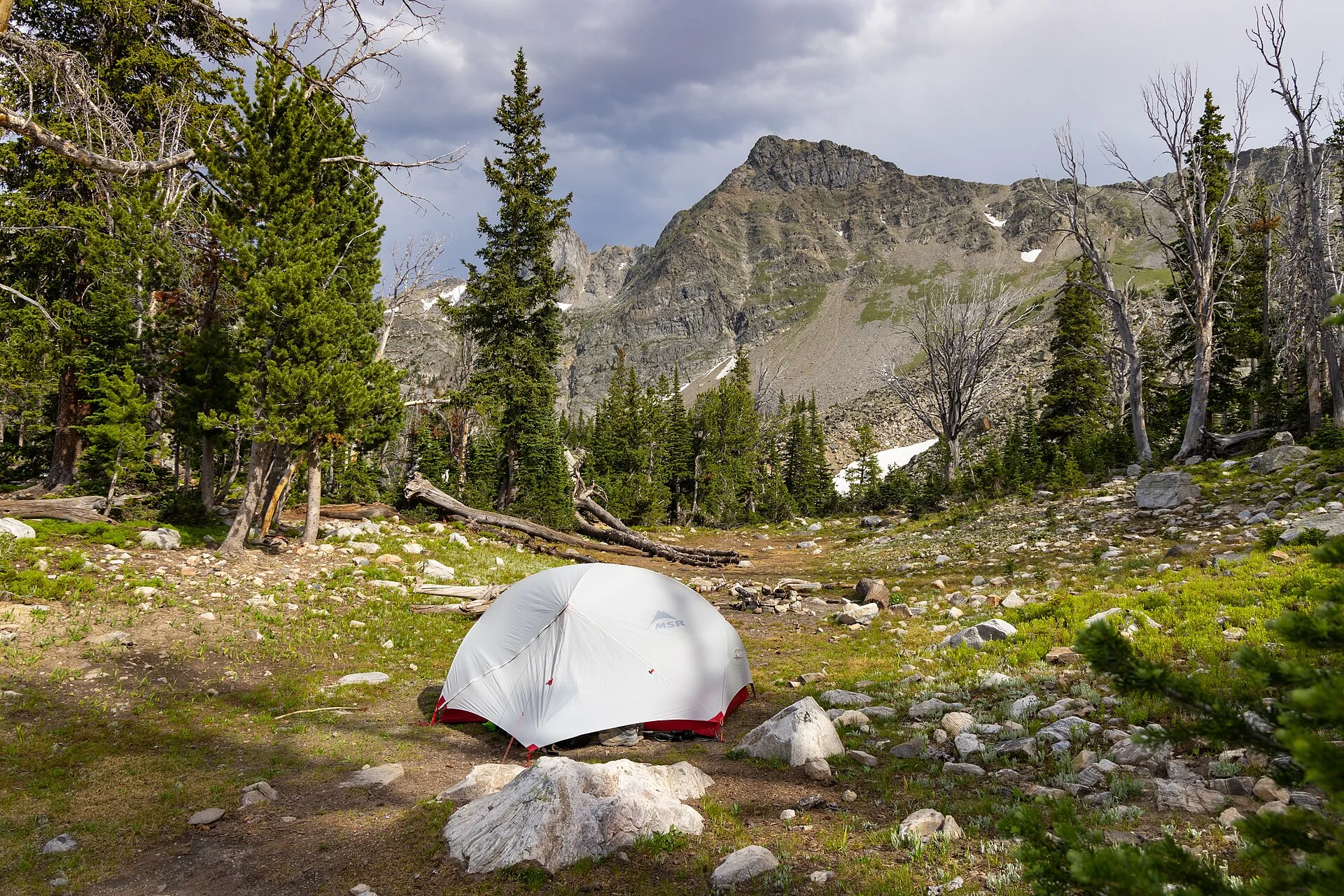
Free Camping Is Everywhere, If You Know How to Find It Legally
Some of the best nights in vehicle camping are free — parked on public land far from a campground fee booth, with no neighbors and a view no paid site could match. That land is out there in enormous quantity. The Bureau of Land Management alone manages roughly 245 million acres, most of it across the western states, and much of it is open to free dispersed camping.
Dispersed camping means camping outside a developed campground, with no hookups, no facilities, and no fee — just you, your vehicle, and the land. The catch is not cost; it is knowing where it is legal and how to find an actual site. Get that wrong and you are trespassing, blocking a road, or camping where a closure is in effect, none of which you want a long way from anywhere.
The good news is that finding legal free camping is a learnable skill, built on a few systems: knowing the difference between BLM and Forest Service rules, reading the maps that define where you can go, and using the apps that lead you to sites others have found. Once you have the workflow, the whole country of public land opens up.
Everything below traces to the public-land agencies' rules and the established tools campers use, described plainly. This guide does not scout a specific site for you; it hands you the method for finding legal dispersed camping anywhere, so you can arrive confident instead of guessing at dusk on a road you are not sure you are allowed to be on.
BLM vs National Forest: Two Systems, Two Default Postures
The first thing to understand is that most free dispersed camping happens on two kinds of federal land, and they operate differently. The Bureau of Land Management oversees roughly 245 million acres, concentrated across the western United States and Alaska, and its default posture is welcoming: dispersed camping is generally allowed unless a specific area has been closed or posted otherwise.
That default — camping is allowed unless posted against — makes BLM land the friendliest place to start. Vast stretches of it, especially in states like Utah, Arizona, Nevada, and New Mexico, are open for you to pull off a road and camp. You still have to respect closures and posted restrictions, but the baseline assumption is in your favor.
National Forests, managed by the U.S. Forest Service, use a different framework. Dispersed camping is allowed in most forests, but the rules are set and enforced at the individual forest and ranger-district level. Some forests are wide open; others restrict where you can drive off a paved or graded road. The hard-won lesson from anyone who has camped across several is that you cannot assume one forest's rules apply to the next.
So the mental model is two systems with two defaults: BLM leans open-unless-posted, Forest Service leans check-this-specific-forest. Knowing which agency's land you are on tells you which rulebook applies, and that is the foundation everything else builds on. Confuse them and you can end up camped illegally on land that looked identical to the legal spot a few miles back.
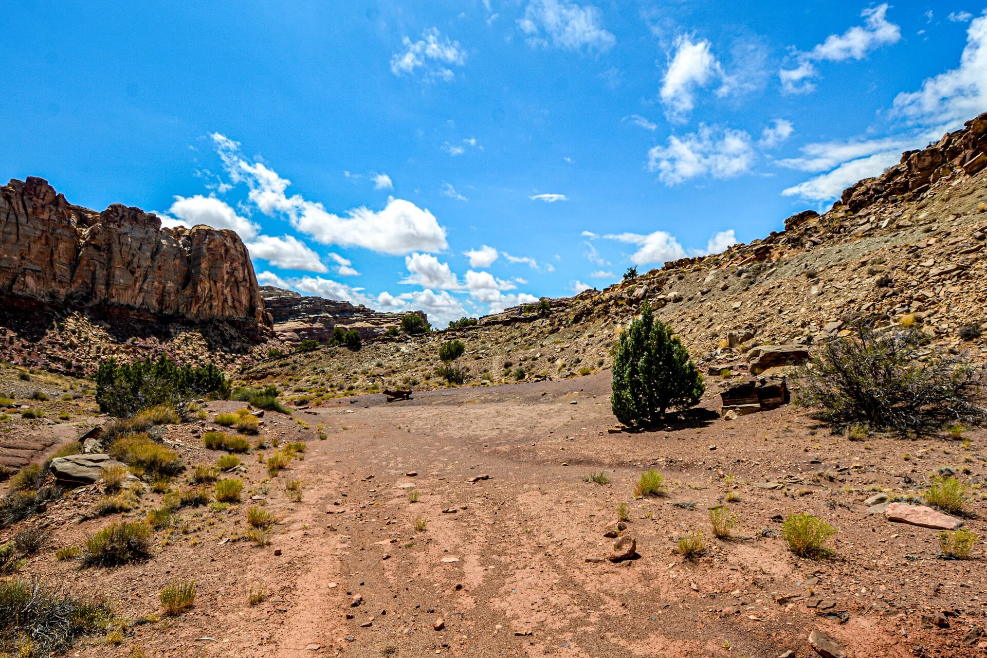
The 14-Day Rule and the Move-On Requirement
The single most important rule to internalize is the stay limit. Dispersed camping is generally limited to 14 days within any 28-day period. It is designed to keep dispersed camping short-term and prevent anyone from homesteading a free site, and rangers do enforce it. Plan your stays around it rather than getting caught over the limit.
The honest complication is that the specifics vary. Individual states and field offices set their own stay limits, and some are shorter than the default 14 days. You cannot assume the standard limit applies everywhere; a heavily used area near a popular destination may cap stays lower to spread the impact. This is one of the things worth confirming before you settle in for multiple nights.
After you hit the limit, you have to move on, and here the rules get fuzzy. BLM's national policy does not actually specify a minimum distance you must relocate; individual field offices set their own move-on requirements. Owners commonly cite about 25 to 30 miles as a working rule, and some offices enforce a standard that you could not reasonably return to the same site for day use rather than attaching a specific mileage.
The overlander's practice is to treat the 14-day limit as firm, verify whether the specific area is shorter, and when it is time to move, relocate a genuine distance — that 25-to-30-mile working figure keeps you clearly compliant even where the exact rule is vague. Respecting the stay limit is not just legal cover; it is what keeps these areas open and welcoming for the next camper.
The Motor Vehicle Use Map: The Document That Decides Where You Can Go
In National Forests, one document outranks every app and every blog post: the Motor Vehicle Use Map, or MVUM. It is the definitive legal document showing which roads are open to motor vehicles, and in many forests dispersed camping is only permitted along roads marked as open on the MVUM. If a road is not open on the MVUM, driving and camping off it can be illegal regardless of how established the spot looks.
This is the piece most casual campers miss, and it is exactly where people get citations. A road can look perfectly drivable and even have old fire rings on it, but if it is not designated open on the MVUM, you are not legally allowed to take a vehicle down it. The map, not the appearance of the road, is the authority. Learning to read it is the difference between confident and hoping.
The maps are free, available online or at any ranger station, and the practical way to carry them is the Avenza Maps app. Avenza imports the official USFS Motor Vehicle Use Maps and uses your device's GPS to show your real-time location on the official map, and it works offline once you have downloaded the map. That means you can stand on a Forest Service road with no cell signal and know for certain whether you are legally allowed to be there.
The overlander's habit is to download the MVUM for any forest before the trip and check it against every road you consider camping on. It is the single most important tool for legal Forest Service camping, and it removes the guesswork that gets people fined. On BLM land the rules are looser, but in a National Forest, the MVUM is the law of the land — treat it that way.
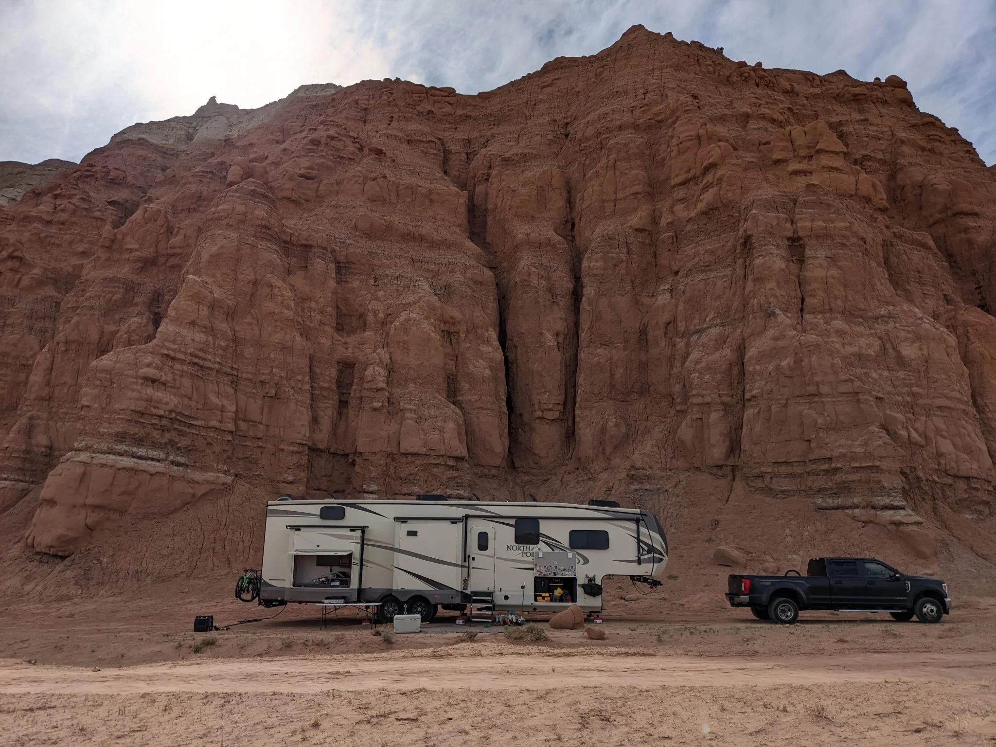
The Apps That Lead You to Actual Sites
Knowing the rules tells you where you can camp; the apps tell you where people actually do. The most useful for finding real dispersed sites is iOverlander, a crowdsourced database of camping spots, water, dump stations, and more that other travelers have logged. It is free, and critically, the app works offline, so you can see the options around you even with no cell service — exactly when you need it most.
There is a useful quirk worth knowing: the iOverlander mobile app limits free users to one state at a time, but the website at ioverlander.com gives full world map access with no account and no subscription. So plan on the web version at home for the big picture, and use the offline app in the field for wherever you are standing. Between the two you get complete coverage for free.
Campendium is the other mainstream option, with a free tier providing basic listings and a paid Pro tier that opens filters for site type, hookups, cell signal, and price. For a car camper, the free tier is often enough to find and vet a spot. If you want entirely zero-cost tools, campers also lean on Freecampsites.net and RVParky alongside iOverlander's free web access.
The overlander's discipline is to use the apps for discovery but verify legality against the agency rules and the MVUM, because a crowdsourced pin is not proof a site is currently legal. Someone may have camped there before a closure, or on a road since restricted. Use the apps to find candidates, then confirm the spot is on open, allowed land. A good offline GPS and mapping setup pairs perfectly with these apps when the pavement and the cell signal both end.
Reading the Land: What a Legal Dispersed Site Looks Like
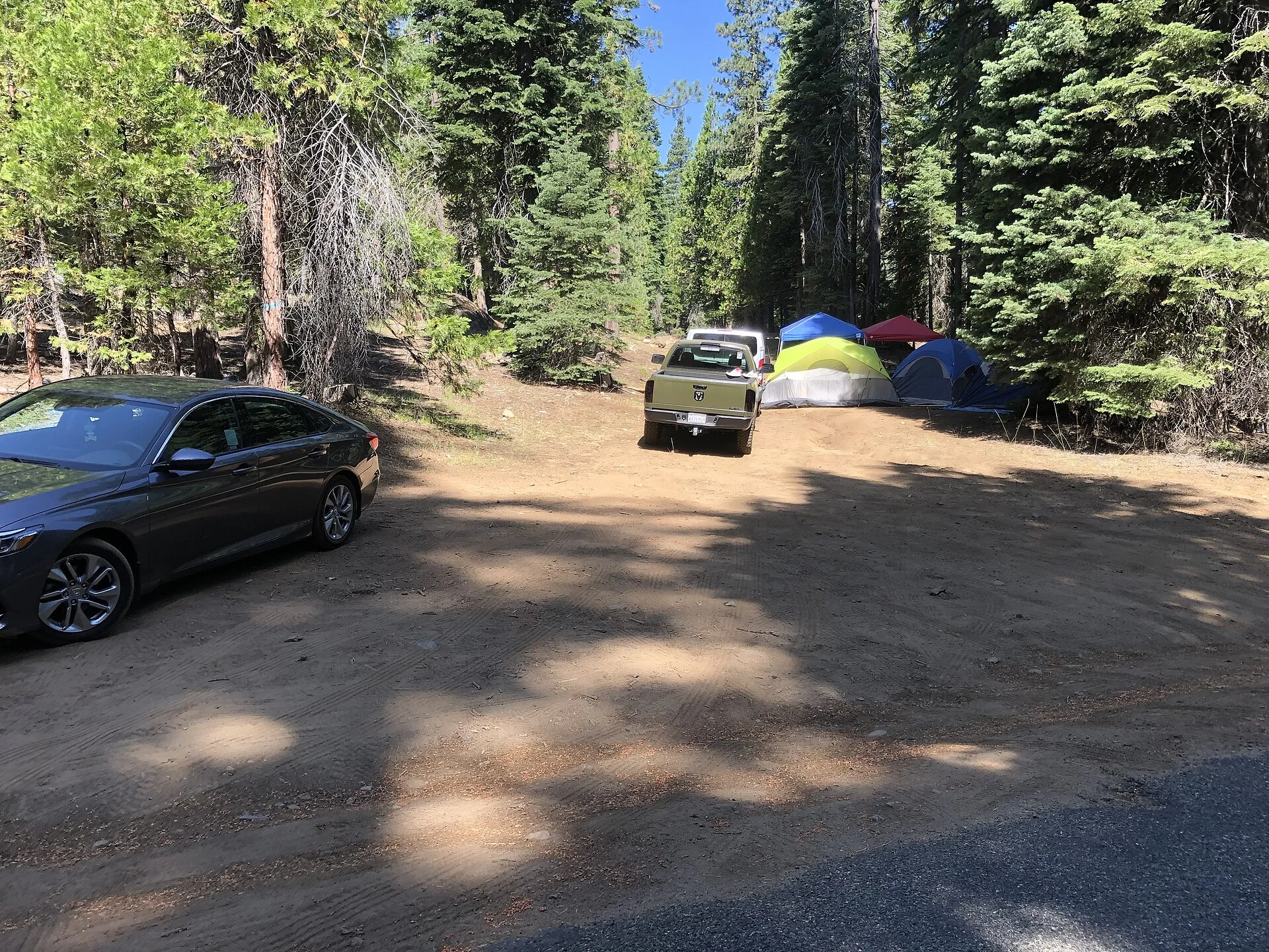
Once the rules and maps say an area is open, you still have to pick an actual site, and there is a right way to do it. The strongest signal is an existing, previously used site — a flat, already-cleared spot with a fire ring where others have camped. Using established sites concentrates impact instead of scarring new ground, and land agencies specifically encourage camping on already-disturbed sites.
Distance rules matter here even when the area is open. Dispersed camping typically requires staying a certain distance from water sources, developed recreation areas, and sometimes the road itself, to protect wildlife and water quality. The exact distances vary by area, but the principle is universal: do not camp right on top of a stream, a trailhead, or a lake shore. Give sensitive features room.
Practical siting comes down to a few field checks. Pull well off the road so you are not blocking it or parked in the driving lane. Choose durable ground — dirt, gravel, or an existing clearing — not vegetation you would crush and kill. Avoid low spots that flood and washes that flash. And never drive off the designated road to reach a spot, since off-road travel is exactly what the MVUM restrictions exist to prevent.
The overlander's read is that a good dispersed site is obvious once you know the signals: already used, well off an open road, on durable ground, a respectful distance from water and trails. Picking sites this way keeps you legal, keeps you safe from flooding and fire risk, and keeps the land intact for the next person. Sloppy siting is how areas get closed to camping entirely.
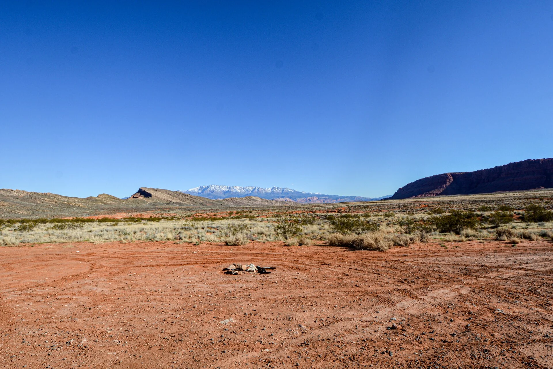
Call the Ranger: The Pre-Trip Workflow That Never Fails
Here is the move experienced campers swear by and beginners skip: before spending multiple nights in an unfamiliar area, call the local ranger district or BLM field office. Rangers are generally responsive to callers with specific, advance questions, and a five-minute phone call replaces hours of uncertainty and the risk of arriving somewhere you cannot legally camp.
Ask the questions that actually decide your trip. Is dispersed camping currently allowed in this specific road corridor or area? Are there active fire restrictions or area closures in effect right now? Is there a current stay limit shorter than the default 14 days? Are there any permit requirements or fees this season? Those four answers tell you whether your plan is legal before you drive hundreds of miles to find out.
The reason this matters so much is that conditions change constantly and no app keeps up in real time. A fire closure can shut an entire area overnight, a road can be washed out or gated, and seasonal restrictions come and go. The ranger district has the current picture that a crowdsourced pin from last year does not. The land is dynamic; the phone call catches what the map cannot.
The overlander's workflow is simple: find candidate areas on the apps and maps at home, confirm the rules against the agency, then call the ranger district to verify current conditions before committing to a multi-night stay. It is the step that turns a hopeful plan into a confident one. A long way from a parts store is no place to discover the area you drove to is closed — the phone call is how you never find that out the hard way.
Camp Responsibly or Lose the Privilege
Free dispersed camping exists at the pleasure of the agencies and the goodwill of everyone who uses it, and it disappears fast where people abuse it. The core obligation is Leave No Trace: pack out everything you bring in, including trash and food scraps, and leave the site as clean as or cleaner than you found it. A trashed site is how an area goes from open to closed.
Fire is the highest-stakes responsibility. Fire restrictions are common, especially in the dry western months when most dispersed camping happens, and they can prohibit any open flame entirely. Always check current fire restrictions — this is one of the questions to ask the ranger — and obey them completely. A single careless fire can burn the very land you came to enjoy and shut it to camping for years.
Human waste and gray water matter more than people think. Where there are no facilities, bury human waste properly and well away from water, or pack it out where required, and never dump gray water near a stream. These are the practices that keep dispersed areas from becoming health hazards, and they are exactly what agencies point to when they decide whether to keep an area open.
The overlander's ethic is that camping on public land is a shared privilege, not a right, and it lasts only as long as campers earn it. Take only nights and leave only tire tracks on the road you were allowed to drive. Camp clean, respect the fire rules, mind the stay limits, and you keep these millions of free acres open — for yourself next season and for the next person who learns to find them.
The Verdict: Learn the System, Then the Country Opens Up
Free dispersed camping on public land is one of the great rewards of a vehicle-based outdoor life, and it is entirely accessible once you learn the system. The Bureau of Land Management's roughly 245 million acres lean open-unless-posted, National Forests set rules forest by forest, and both generally limit you to 14 days within a 28-day period before you move on.
The tools make it practical. Use the Motor Vehicle Use Map, carried offline in Avenza, as the legal authority for where you can drive and camp in a National Forest. Use iOverlander's free offline app and web map, along with Campendium and the other free tools, to find sites others have vetted. Then confirm legality against the agency rules rather than trusting a pin.
And never skip the two habits that separate confident campers from cited ones: call the local ranger district to verify current conditions before a multi-night stay, and camp responsibly enough that the area stays open behind you. Learn the BLM-versus-Forest-Service distinction, respect the 14-day limit, read the maps, and leave no trace, and a whole country of free, quiet, spectacular campsites opens up — the kind of nights that make you wonder why you ever paid for a spot.